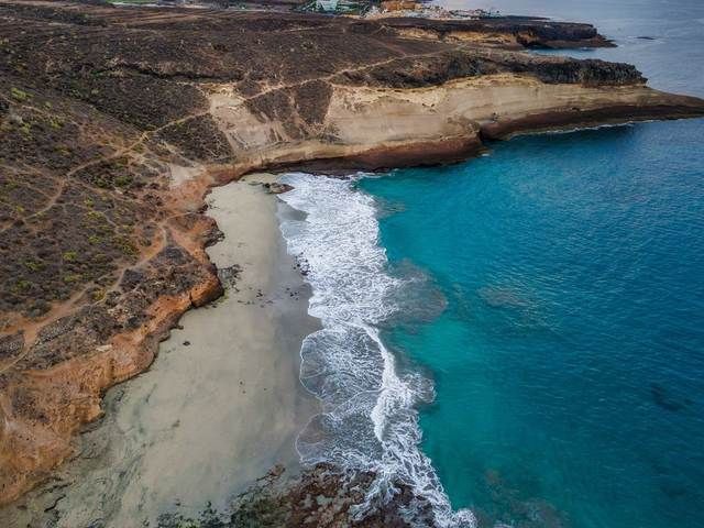
The raw black coasts of the north wrapped in a sea of clouds, and the sun-baked golden sands of the south. This guide walks you across the island from the ocean up to the mountains, with no internet, at your own pace.
A 22-second look at what's actually inside: real beaches, real trails, real food, no filler.
The app is useful as a planner before departure and as a navigator once you are there, so you plan your sightseeing on purpose, still in the plane seat or over coffee at home.
Island Essentials answers the questions that usually only come up on the ground: what to pack, travelling with children, currency and the IGIC tax, SIM and roaming, the time zone, insurance and the EHIC card.
Car hire and the TITSA buses (guagua), alcohol and local law, siesta and opening hours, digital safety and the island-specific haze called calima.
Every description and photo is in the app, and every spot is pinned on the outline of the island. You need no signal and no roaming, which matters in Anaga and on the Teno roads where there simply is none.

The story of the place, its character, curiosities and honest warnings, grouped by the island's five coastlines.
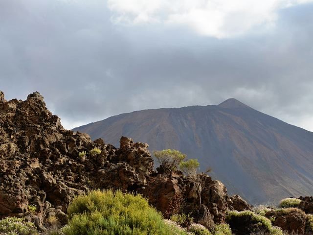
From a one-hour walk on an old volcano to a four-day traverse of the island.
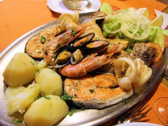
17 dishes with recipes and the drinks of Tenerife: Ron Miel, mistela, local wines.
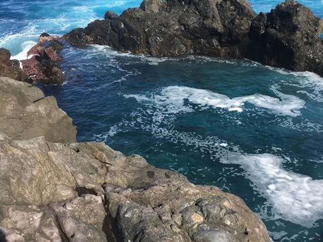
Volcanic pools carved by the ocean: turquoise water, black lava.
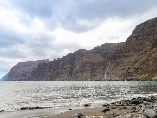
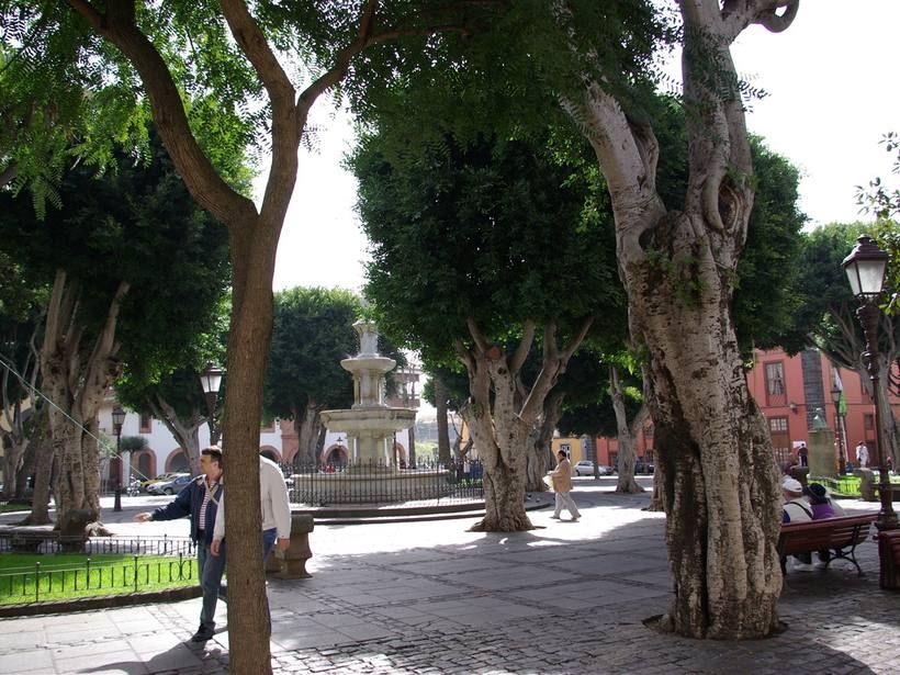
A volcano, the stars, a colonial old town, the sanctuary of the island's patron saint.
The conquest and the Guanches, the legends of Teide, local law, safety in the ocean.
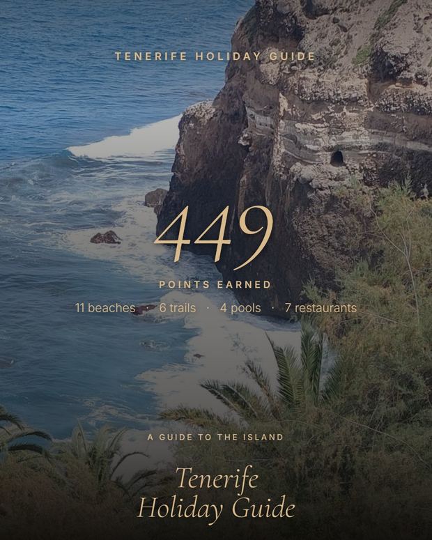
The app recognises when you are really at a beach, trail or restaurant from the guide, and adds points, more for the wild and harder-to-reach places.
You share your score with friends on a single card styled like the app cover.
Adjustable text size and colour tuned for readability, plus a narrator that reads articles aloud, offline, using the phone's system voice.
Our own, hand-edited translations of the content, not machine Google Translate. The whole app follows your phone's language.
No accounts, ads or analytics. Location (optional, for the points) is processed only on the device and nothing is sent or shared.
Handy in Anaga and on the Teno roads, where there simply is no signal.
Yes. Every description, photo and the spots pinned on the island outline are stored in the app. Once it is installed you need no signal, no wi-fi and no roaming, which matters in Anaga and on the Teno roads where there is no coverage at all.
One payment (7.49 EUR), then the app is yours for good. No subscription, no ads and no in-app purchases.
The interface and all guide content are hand-translated into 18 languages, including English, Polish, Spanish, German, French, Portuguese, Russian, Arabic, Chinese, Japanese and Hindi. The app follows your phone's language automatically.
For now the guide is an Android app in its final testing phase. Leave your email on the waiting list and we will write to you the day it goes live on Google Play. An iPhone version may follow later.
No. There are no accounts, no sign-up and no login. You buy the app once and open it. Nothing you do in the app is sent anywhere.
The app pins every spot on the outline of the island, offline. It is not a navigation app: for the drive it opens Google Maps with one tap, and that needs a connection. Before you fly, download the Tenerife area in Google Maps for offline use and routing works with no signal too.
Every beach entry has concrete notes on the conditions: where the lifeguard sits, where the red flags fly, where the current can pull you out to open sea. Waves on the north coast reach several metres. That knowledge matters more than a nice photo.
A paid app, no ads and no subscription. One price, the whole island, forever.
Available now on Google Play.